
As the Southern
Hemisphere spring and summer approach, my thoughts turn to Patagonia – I’ll be updating
my guidebook to the region later this year - but many of us have only a vague idea
what that means. Consequently, I’d like to try to define the region that has stimulated
the imagination since Ferdinand
Magellan first landed there in the 16th century.

Intending visitors
may think first of iconic landscapes like those at Torres
del Paine (pictured at top) and the Perito
Moreno Glacier (pictured above) but, most broadly, Patagonia comprises much of southernmost
South America (mostly Argentina,
but also parts of Chile). Its
name probably derives from the first aboriginal inhabitants that early
explorers encountered – “Patagones,” roughly translated as “people with big
feet.” Though its etymology is unclear, this descriptive term for people who
dwarfed the Spaniards in stature may have originated with Magellan’s Italian chronicler
Antonio Pigafetta.

Hearsay grew that
legend, as the 18th-centurty illustration above suggests, but the region’s native people are still a good starting point for
defining the region. Until the late 19th century, the Tehuelche, Mapuche, Huilliche, Puelche and other
mobile peoples dominated the area south of the Río Colorado
(in Argentina) and the Río Biobío (on
the Chilean side), and they are still a presence today – most conspicuously in
Chile.

Broadly
speaking, those boundaries still exist today: by broad consensus, Argentine
Patagonia consists of the mainland provinces south of the Colorado - Río Negro, Neuquén, Chubut and Santa Cruz
- plus its sector of the Tierra del Fuego
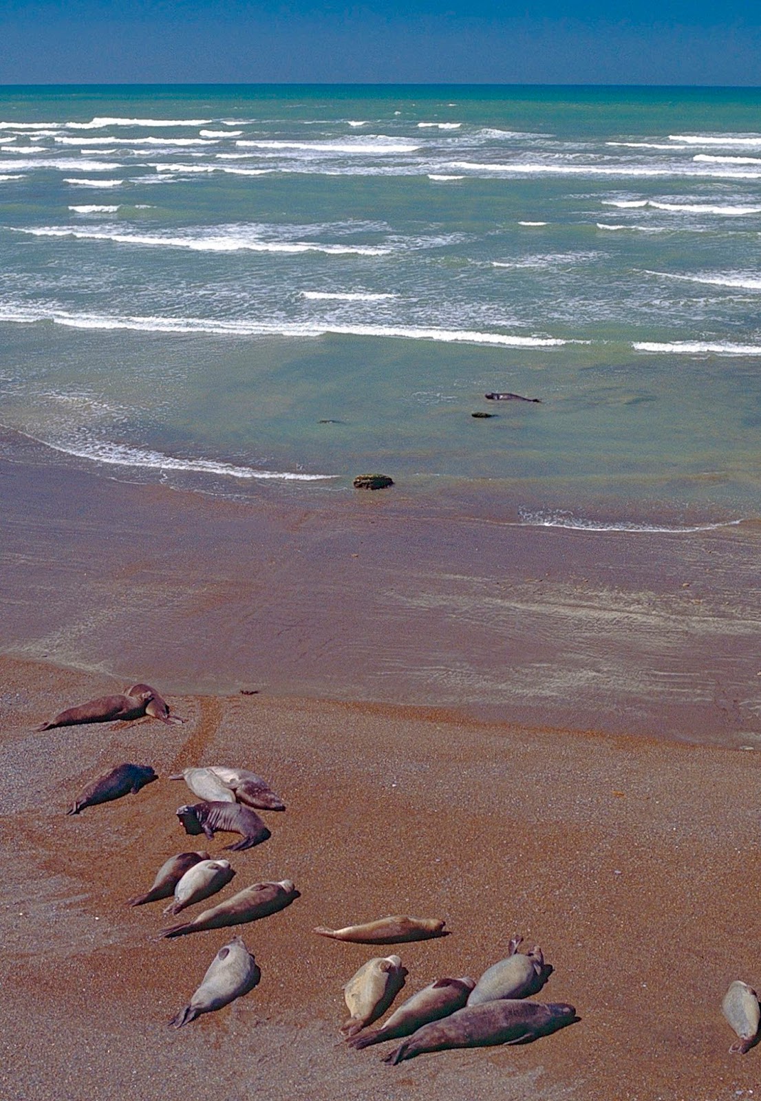
archipelago (the sign in the photo above, taken at the Colorado, says "Patagonia starts here"). Much of this is a “Big Sky Country” – think Montana, but with
an Atlantic coastline populated by marine mammals (whales and seals) and
penguins.
In Chile,
Patagonia traditionally begins at the channels and fjords of the thinly
populated and densely forested Aisén region (pictured below) – almost roadless
until recently - where ferries and airplanes have long been the main means of transportation.
It’s an area that resembles British Columbia and the Alaska Panhandle.

Chile’s southernmost
region of Magallanes,
which includes part of the Tierra del Fuego archipelago, is indisputably
Patagonia, but the more northerly “Lakes District”
south of the Biobío has actively embraced the designation – in that sense, “Patagonia”
is becoming an informal brand (rather than a line of clothing). In an area
resembling Oregon and Washington, this brings the Chilean boundaries more
closely in line with those in Argentina, and cross-border travel is routine
here.

Geographically, Argentine
Patagonia about the same size as Texas or Turkey, and Chilean Patagonia roughly
comparable to Germany, but environmentally speaking the differences are
striking. As you travel west, Argentine Patagonia’s thinly vegetated steppe (pictured above) turns
to southern beech forest as it approaches the relict glacial lakes on both
sides of the Andes (as pictured below). Farther south, the steppe becomes Magellanic moorland,
while the glaciers and icefields still survive – a great reason to get to know this
vast area, but far from the only one.


1 comment:
Excellent primer Wayne. Much appreciated. Was in the region last year, and returning in April with my American girlfriend to run a trail race.
Post a Comment