Chile’s
Benjamín Subercaseaux famously described his country’s territory as “a crazy geography,” just as British author
Sara Wheeler recounted her experiences there in
Travels in a Thin Country between the Pacific Ocean and the high Andes. For much of the country’s history, travel has been a unidirectional venture, with few alternatives by sea, train or road—rather different from
Argentina, where there’ve been multiple routes suitable for road trips.
 |
| Lago Llanquihue at Puerto Varas, the southern starting point for this road trip. |
This occurred to late last year, when a New York reader wrote me about an upcoming literary trip to Chile—his book club takes it on the road—and asked me for recommendations for a trip between
Puerto Varas and
Pucón that would avoid the Ruta 5 freeway, the quickest (but least interesting) route between the two resorts.
 |
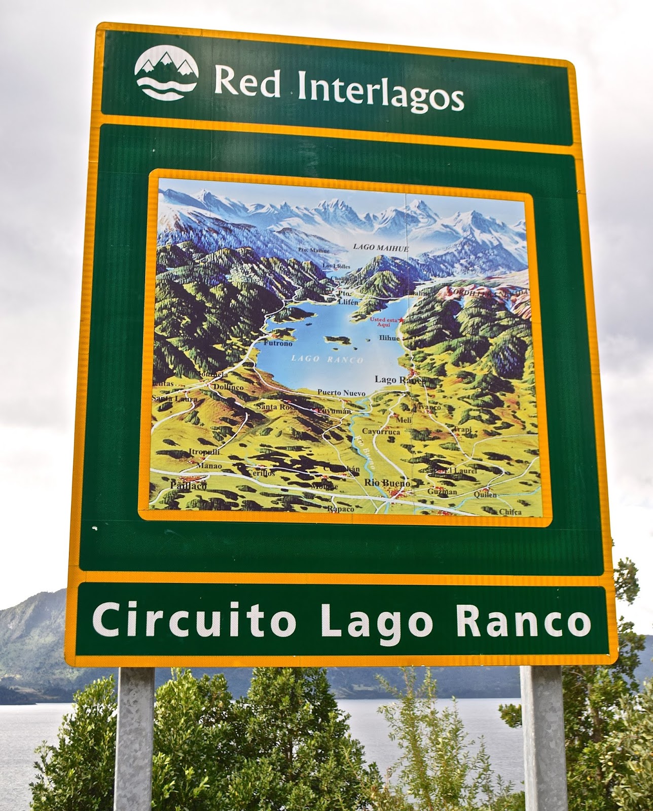
| New highway signs mark the Red Interlagos. |
Not so long ago, that wouldn’t have been possible but, in recent years, the Chilean government has linked and improved a series of roughly parallel easterly roads that provide a more scenic alternative along the lakes of the Andean front range. The
Red Interlagos stretches from the town of Inspector Fernández, north of
Temuco, south to the village of Puelo, southeast of
Puerto Montt. I recommended an itinerary to my client and, when I next returned to Chile, I decided to follow the route—more or less—myself. It bears mention that the Interlagos is not a single highway, but a network of interconnected routes that pass through smaller towns and villages, not all of which are resorts, so there are multiple options.
 |
| Roadside frontage of the Hotel Awa |
My client started in Puerto Varas and so did I, spending a couple nights in the new design
Hotel Awa, a multi-story concrete, glass and girder structure on the city’s eastern outskirts. With views over
Lago Llanquihue to the perfect cone of
Volcán Osorno, it’s the area’s most technologically sophisticated hotel, but with rustic touches such as hiding the TV in an old steamer trunk at the foot of the bed. At night, I dined on truffled pork loin, complemented by a barley-based risotto from its own vegetable garden and garnished with a hazelnut sauce.
 |
| Grounds of the Museo Colonial Alemán, Frutillar |
From Llanquihue’s south shore, there are two ways north, on the west side via
Frutillar or the longer east side route via
Ensenada. At the former, there’s the remarkable
Teatro del Lago and the outstanding
Museo Colonial Alemán, a tribute to German colonists that reminds me of in situ museums in Scandinavia.
 |
| A cycling event on the easterly route along Lago Llanquihue, beneath Volcán Osorno |
 |
| Puerto Octay, on Lago Llanquihue's north shore |
I chose the longer route, which offers a detour up to the volcano’s ski area, which is open for hikers in summer, and then proceeded to picturesque
Puerto Octay, a small north shore town with a metal-clad church and turreted houses that evoke
Mitteleuropa. On Octay’s outskirts, my choice for the night is
Hostal Zapato Amarillo, a Swiss-Chilean B&B with sod-roofed cabins, personalized attention, and fine dinners.
 |
| Hostal Zapato Amarillo is a cluster of sod-roofed guest rooms just outside Puerto Octay. |
 |
| Hotel Termas de Puyehue is one of Patagonia's grand hotels. |
 |
| Volcanic ash still covers parts of the shoulders along the highway between Argentina and Chile. |
 |
| North of Entre Lagos, parts of the route are still unpaved but being improved. |
I didn’t stay at the Puyehue this time, instead heading north through the town of
Entre Lagos toward
Lago Ranco, a lesser visited destination in the heart of Mapuche country. Along this segment, the Interlagos road signs say “Norpatagonia,” and, on a gravel surface with signs of improvement, muddy potholes splashed water onto my windshield. As I approached the
south shore town of Lago Ranco, I could spot
Isla Huapi, an offshore island inhabited almost exclusively by
Mapuches.
 |
| The route around Lago Ranco is completely paved. |
Here, in an area far more popular with Chileans than foreigners, I stopped for a sandwich before continuing east along a smooth paved road with plenty of scenic overlooks. The last time I had visited, a cable barge was the only means of crossing the
Río Nilahue, but now modern bridges ease the route around the densely forested east side to the north shore town of
Futrono. Here, almost opposite San Martín de los Andes, I spent the night at the
Cabañas Nórdicas, a cluster of spacious and seemingly Scandinavian structures on a bluff overlooking the lake.
 |
| Sunset over Lago Ranco from my accommodations at Futrono |
North of Futrono, the route’s a bit better trod, approaching the Ruta 5 town of Los Lagos but then veering northeast to
Panguipulli, the entry point to a
“Siete Lagos” route that resembles
Argentina’s in Río Negro and Neuquén. Panguipulli fancies itself the "City of Roses" for its gardens at the east end of its namesake lake, but the area’s big attraction is its hot springs resorts. My client raved about the Zen-inspired
Termas Geométricas—an isolated canyon of waterfalls, creeks and naturally heated pools linked by boardwalks near
Coñaripe that’s open for day visits only—in the shadow of the fuming
Volcán Villarrica.
 |
| The Termas Geométricas is a secluded hot springs venue south of Pucón. |
 |
| Volcán Villarrica, as seen from Pucón, on the opposite side of Termas Geométricas |
After a leisurely day at the Termas Geométricas, nearby accommodations options include the
Termas de Coñaripe—a hot springs hotel in its own right—and the town of
Lican Ray, with its black sand beaches at
Lago Calafquén. Termas Geométricas, though, gets many day-trippers from
Pucón, the uber-resort city that’s just over the hill (mountains, that is) on
Lago Villarrica. There, the place to stay is the hillside
Hotel Antumalal, a
Bauhaus-inspired masterpiece that, arguably, set the stage for Varas’s Awa. Still, there are many cheaper but still outstanding options here, and great hiking in spots like
Parque Nacional Villarrica,
Parque Nacional Huerquehue, and the
Santuario Cañi, a private conservation effort aimed at protecting the area’s
Araucaria forests.
 |
| Queen Elizabeth II and other big names have stayed at Pucón's Hotel Antumalal. |
 |
| At Parque Nacional Huerquehue, the Sendero Quinchol leads to dense upland forests of Araucarias and southern beeches. |